Chapters
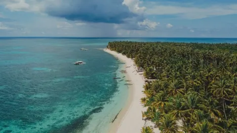
The first time I came to Siargao, someone told me: “You’ll leave, and then you’ll spend the rest of the year figuring out how to get back.”
They were right. I’ve gone back every year since 2024. I have friends there now, people I look for when I arrive and say goodbye to, like it means something when I leave. General Luna knows me well enough that I know which spots have the best rice at lunch and which ones have been there long enough to outlast three typhoon seasons.
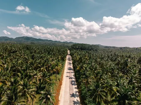
But here’s what I kept thinking about on one of my last trips, sitting on the seawall watching the sun go down over the coconut palms: this island has been beautiful for a very long time. Much longer than any surf magazine knew it existed.
The Cloud 9 era gets all the headlines. And it earned them. But Siargao had a whole life before anyone named a wave after a chocolate bar.
The Name Is Older Than the Tourism
Start with this: the island’s name has nothing to do with surfing, and nothing to do with the Spanish.
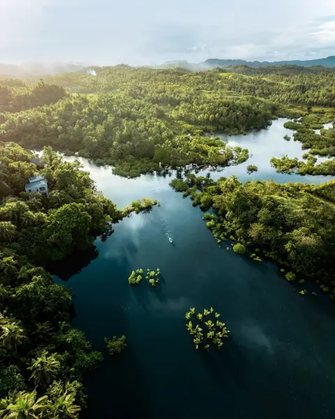
The name Siargao comes from the Visayan words siargaw or saliargaw, a species of mangrove called Premna odorata that once grew abundantly along its shores. The island was named after a plant that grew at the water’s edge, filtering the sea, anchoring the shore, and quietly holding the ecosystem together.
There’s something right about that. Before it was a surf destination, before it was a travel influencer backdrop, Siargao was a place where the land and the sea were the same conversation.
The island also hosts one of the largest mangrove forest reserves in Mindanao, covering nearly 4,871 hectares in Del Carmen. Those mangroves were not planted for a festival or a conservation campaign. They were what was there before everything else.
The First People Here
The pre-colonial inhabitants of Siargao were part of the broader indigenous populations of the Caraga region, including Negrito groups such as the Mamanwa, who represent some of the archipelago’s earliest settlers with origins tracing to Paleolithic migrations estimated at up to 50,000 years ago. They were not a centralized civilization with palaces and written records. They lived in small kin-based communities, hunting, fishing, gathering honey and shellfish in the mangroves.
The early settlers were skilled fishermen, boat builders, and traders, navigating the waters of the Pacific long before European explorers set foot in the Philippines.
And they were not isolated. According to records from Song Dynasty China and archaeological discoveries, including the Surigao Treasures, Siargao sat astride rich maritime trading routes. The Rajahnate of Butuan, just to the southwest, led a Visayan trade alliance that dealt in spices from Ternate, silk from China, sandalwood from East Timor, gold from Caraga, and camphor from Brunei. This region was not a backwater. It was a node in a network that connected the islands of Southeast Asia centuries before any European ship arrived.
The waves were breaking at Cloud 9 throughout it all. Nobody was counting sets.
A Spanish Sailor Names It the Island of Palms
The first recorded European sighting of Siargao was by Bernardo de la Torre, aboard the carrack San Juan de Letrán in 1543, when attempting to return from Sarangani to New Spain. He saw the island from the water, charted it, and called it Isla de las Palmas: the Island of Palms.
De la Torre was sailing under Ruy López de Villalobos on a failed expedition to establish a greater Spanish presence in the East Indies. Stuck for months on the eastern side of Mindanao, the expedition ran low on supplies and was ordered to leave by the Portuguese. Villalobos sent de la Torre east across the Pacific to seek supplies and reinforcements from Mexico. Siargao was a landmark on that desperate voyage home. Not a destination. Just a shape on the horizon.
The name stuck in European charts even as the island’s own people kept calling it by the mangrove.
Missionaries reached the Caraga region by 1622. By 1655, Siargao was placed under Spanish encomienda, and the island was gradually organized into pueblos, with Dapa and Caolo among the earliest administrative centers. Catholicism arrived with the missionaries, and the Sto. Tomas de Villanueva Parish in General Luna still stands today, a few minutes from the surf break, easy to miss if you’re heading to the boardwalk.
Despite the changes that colonization brought, many local practices remained rooted in earlier ways of living, especially in food preparation, fishing methods, and social cooperation. The colonial centuries reshaped the surface of things. They did not replace what was underneath.
A Quiet Island for a Long Time
For most of recorded history after the Spanish era, Siargao was simply a fishing island. Families in General Luna, Dapa, Del Carmen, and the other municipalities lived the way island people have always lived: with the tide, with the season, with the catch.
Siargao remained a quiet fishing island until the 1980s, when international surfers first discovered the wave that would eventually be called Cloud 9.
That word deserves a moment: quiet. It’s not a criticism. Quiet meant the mangroves were intact. Quiet meant the reefs were healthy. Quiet meant people knew each other’s names and boats and the particular way the swell moved in September. Quiet meant it was a place before it was a brand.
The Wave, the Name, and the Beginning of Something Else
Surfing arrived in Siargao in June 1980, when Tony Arruza and Steve Jones came to General Luna in search of a perfect wave. They surfed the area now known as the Jacking Horse, near what would become Cloud 9. Word spread quietly through the surfing world.
What happened next is the kind of story surfing mythology is built on. In December 1988, an American traveler called Max Walker arrived in General Luna carrying a battered surfboard, asking the local mayor for permission to camp at the deserted Tuason Point, 3 kilometers away. He befriended local villagers, surfed the break every day, and died there in April 1989 after an extended fast of 45 days. He had found what he was looking for. He didn’t leave.
Cloud 9 was named by American photographer John Seaton Callahan after a chocolate bar, and was featured in Surfer magazine in March 1993, then named one of the ten best surf trips of a lifetime in 1995.
At that time, there were no paved roads, no surf schools, and no steady electricity. Surfers stayed with locals, shared meals, and lived simply between tides. The island absorbed them the same way it had absorbed everyone who came before: slowly, on its own terms.
The Siargao International Surfing Cup brought the competitive circuit. The magazine spreads brought the wider world. And the wider world, in time, brought everything else: the resorts, the cafes, the question of what a place is worth when enough people want it.
What a Typhoon Reminds You
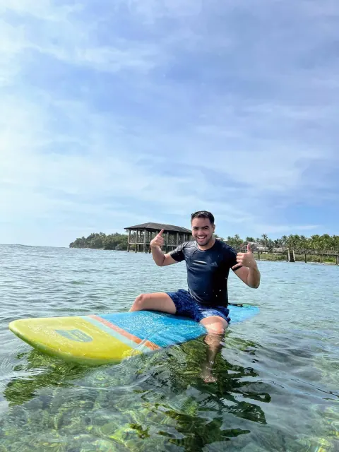
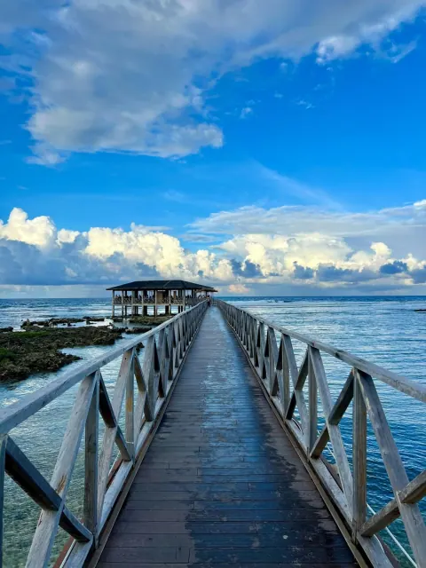
On December 16, 2021, Typhoon Odette made its first landfall on Siargao. The boardwalk at Cloud 9 collapsed. Resorts were flattened. Coconut palms that had stood for decades came down.
General Luna accounted for three-fourths of the economic damage on the entire island, about 1.2 billion pesos in December 2021 values. Half of the 5,494 tourism workers affected were from General Luna. The island is home to over 136,000 people. Most coverage focused on the surf economy. The people who rebuilt Siargao were not tourists.
One local business owner said what a lot of people felt: “Dito kami nakatira. This is home.”
That sentence is the whole story, really. You can build a resort. You can name a wave after candy. You can sell the aesthetic of a place across a million posts. But the people who were there before the wave had a name, the people who stayed through the storm, the people who rebuilt with their own hands: they are the real continuity.
The recovery program was called Bangon Siargao: Rise, Siargao. Within a year, the island reopened, stronger and more mindful of what mattered most. The name Bangon Siargao sounds like it was always there, waiting to be used.
What Keeps Bringing Me Back
When I talk about Siargao as my home island, I’m not being poetic. I mean that I have people there. I mean that I know the rhythm of General Luna in the mornings, the way the light hits the water, the conversations that pick up where they left off.
But I also keep coming back because of what’s underneath the version of the island that went viral. The mangroves that gave it its name are still there in Del Carmen, designated as a Ramsar Site in January 2024, home to 245 animal species, including the vulnerable Philippine duck and the Southern rufous hornbill, and three threatened turtle species. The church in General Luna that the Spanish missionaries built is still there. The fishing boats still go out before dawn.
The wave that changed everything was already breaking before anyone decided it had to have a name.
That’s what I want people to understand when they come to Siargao. Not to feel guilty about discovering a place or to avoid the Cloud 9 boardwalk. Just to know that beauty this deep doesn’t appear from nowhere. It accumulates. Over centuries, over storms, over generations of people who chose to stay.
Wander deeper,
Merald